


How does UAV hydrological flow radar help real-time monitoring of river flow?
Release Time : 2025-02-08
In today's context of increasingly important water resources management and flood prevention and disaster reduction, UAV hydrological flow radar technology, with its unique advantages, is gradually becoming an important tool for real-time monitoring of river flow. This technology not only improves the efficiency and accuracy of data collection, but also provides more timely and comprehensive decision-making support for water resources management.
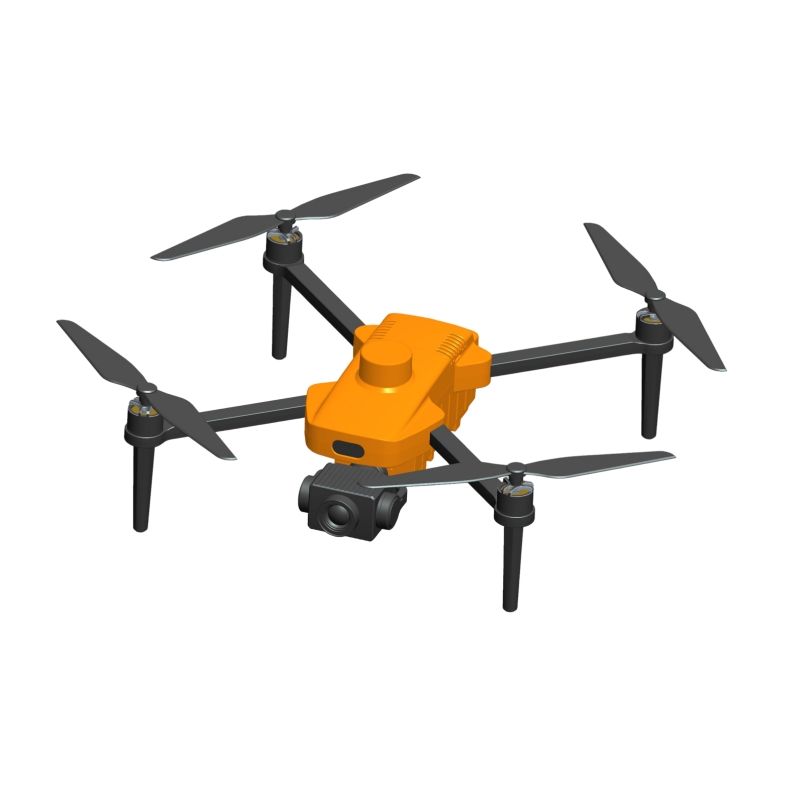
UAV hydrological flow radar system usually consists of three parts: UAV platform, hydrological flow radar sensor and data processing software. As a carrying platform, UAV is flexible and easy to deploy, and can quickly reach complex or inaccessible river areas. Hydrological flow radar sensor uses advanced radar technology to obtain water flow speed and direction information by measuring the echo signal on the surface of the water body. The data processing software is responsible for converting the collected raw data into intuitive flow information, which is convenient for managers to analyze and make decisions.
UAV hydrological flow radar technology has shown significant advantages in real-time monitoring of river flow. First of all, its high-precision and high-sensitivity measurement capabilities ensure the accuracy of the data. By carrying advanced radar equipment, UAVs can accurately capture tiny fluctuations on the surface of the water body, thereby calculating more accurate flow rate information. This high-precision measurement is crucial for water resource management, especially in emergency situations such as flood warning and drought management, where accurate data can provide strong support for decision makers.
Secondly, the UAV hydrological flow radar technology has the characteristics of high temporal and spatial resolution. Traditional river flow monitoring methods usually require measurements at specific flow measurement points, while UAVs can continuously monitor the entire river area and provide more detailed and comprehensive flow measurement data. This continuous monitoring capability enables managers to have a more comprehensive understanding of the dynamic changes of the river and timely discover potential hydrological risks.
In addition, the UAV hydrological flow radar technology also has the advantage of non-contact measurement. Traditional flow measurement methods often require staff to directly contact the water flow or related equipment, which poses certain safety hazards. UAVs can perform safe and efficient measurements in the air, avoiding the risk of personnel contacting the water flow. This non-contact measurement method not only improves the safety of measurement, but also reduces interference with the river ecology.
In practical applications, UAV hydrological flow radar technology has achieved remarkable results. During the flood season or heavy rain, UAVs can quickly reach the river area for emergency monitoring, providing timely data support for flood control and disaster reduction. At the same time, this technology can also be used in many fields such as drought management, water resources scheduling and ecological protection, providing a strong guarantee for the intelligent and refined water resources management.
Looking to the future, with the continuous advancement of technology and the continuous expansion of application scenarios, drone hydraulic flow radar technology will play a more important role in water resources management. On the one hand, with the continuous development of radar technology, the measurement accuracy and stability of drones will be further improved, providing more reliable data support for water resources management. On the other hand, with the integration and application of technologies such as the Internet of Things and big data, drone hydraulic flow radar systems will be interconnected with more water resources management systems to form a more complete and efficient water resources monitoring network.
With its advantages of high precision, high spatiotemporal resolution and non-contact measurement, drone hydraulic flow radar technology is gradually changing the traditional way of real-time monitoring of river flow. The application of this technology not only improves the efficiency and accuracy of data collection, but also provides more timely and comprehensive decision-making support for water resources management.
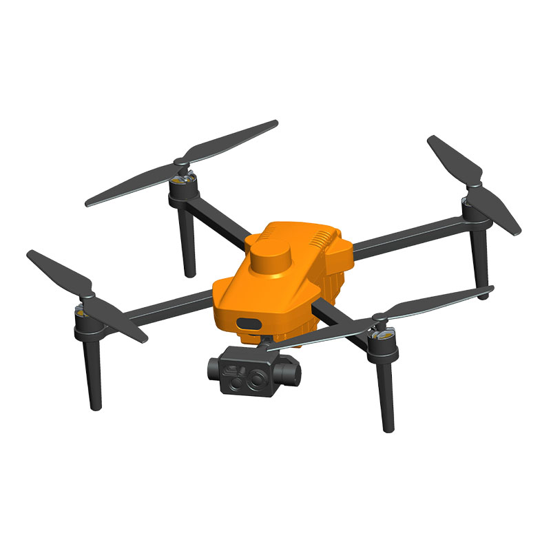