Can single-light mapping quadrotor drone provide intuitive mapping results in data processing?
Release Time : 2025-01-22
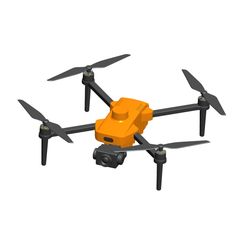
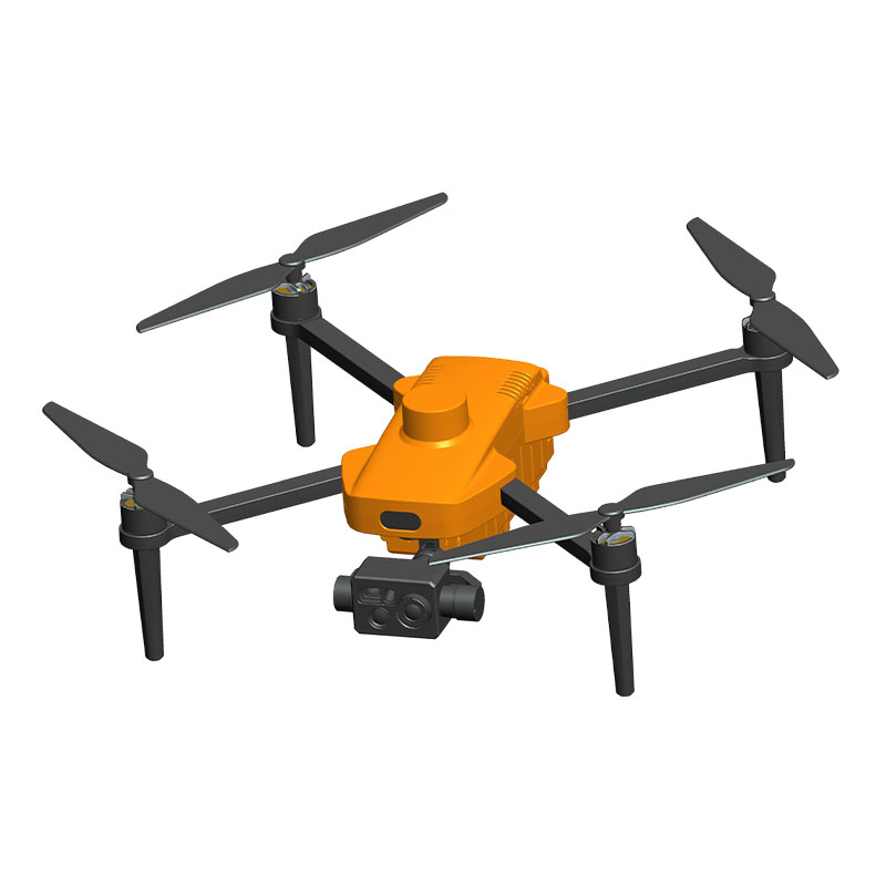
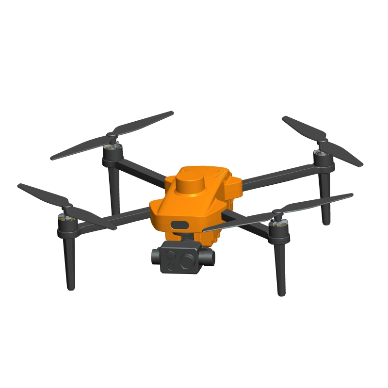
Single-light mapping quadrotor drone is increasingly widely used in the field of mapping. Its unique flight performance, high-precision data acquisition and efficient data processing capabilities have brought unprecedented convenience and efficiency to mapping work.
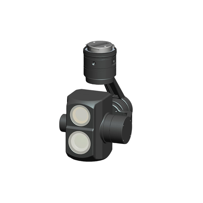
Single-light mapping quadrotor drone is equipped with high-precision sensors and advanced flight control systems, which can fly at low altitudes in complex environments and quickly collect ground information. Its data acquisition process is efficient and accurate, and it can obtain multi-angle and high-resolution image data. These image data not only contain rich ground information, but also have high spatial resolution, providing a solid foundation for subsequent data processing.
In terms of data processing, single-light mapping quadrotor drone uses advanced data processing algorithms and technologies. Through steps such as image preprocessing, data correction, and data registration, drones can eliminate distortion and errors in images and improve the accuracy and reliability of data. In addition, through algorithms such as image stitching, digital elevation model (DEM) generation, and feature extraction, drones can convert the collected image data into intuitive three-dimensional models and two-dimensional maps.
Among them, image stitching technology can seamlessly stitch multiple images into a complete map, making the mapping results more continuous and complete. Digital elevation model (DEM) generation technology generates elevation models of the surface through three-dimensional reconstruction technology, providing intuitive data support for the analysis of topography. Feature extraction technology extracts characteristic information of the target area, such as the outline of buildings and the direction of roads, through image analysis and computer vision technology, providing important reference for subsequent planning and management.
Based on data visualization, single-light mapping quadrotor drone can also display and analyze the mapping results in a variety of ways. Through two-dimensional maps, three-dimensional models, and heat maps, users can intuitively understand the geographical information and characteristics of the target area. Two-dimensional maps can clearly display basic information such as topography, water system roads, etc.; three-dimensional models can present the changes in topography and landforms in three dimensions, allowing users to more intuitively observe and analyze the spatial structure of the target area; heat maps display the density and distribution of the target area through color rendering, providing strong data support for population density analysis and traffic flow monitoring.
In addition to intuitive data display, single-light mapping quadrotor drone can also provide rich mapping results through data analysis and comparison. For example, by comparing multiple mapping results, changes in the target area can be detected, such as land use changes, building changes, etc. These data are of great reference value for urban planning, environmental monitoring, disaster assessment and other fields.
In summary, single-light mapping quadrotor drone has demonstrated excellent capabilities in data processing. Through high-precision data collection, advanced data processing algorithms and diversified data display methods, it can provide intuitive, accurate and rich mapping results. These results not only bring unprecedented convenience and efficiency to mapping work, but also provide strong data support for urban planning, environmental monitoring, disaster assessment and other fields.


