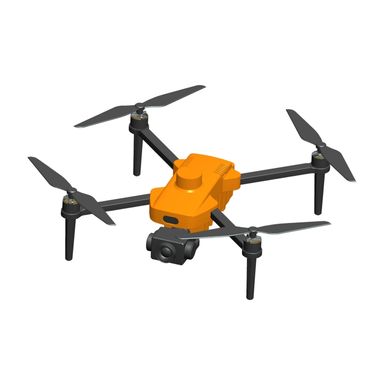
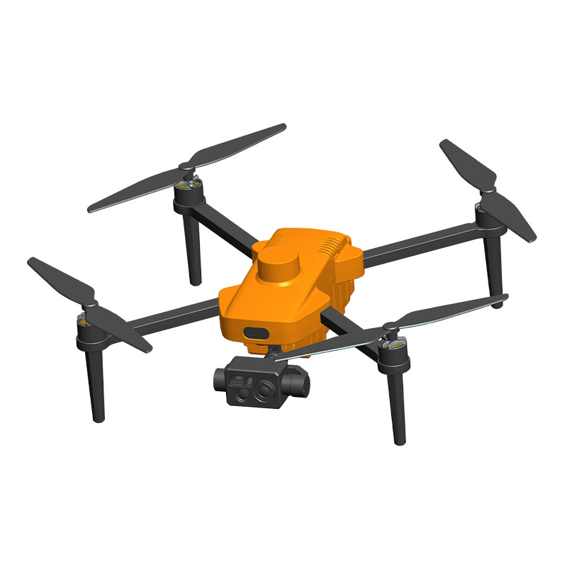
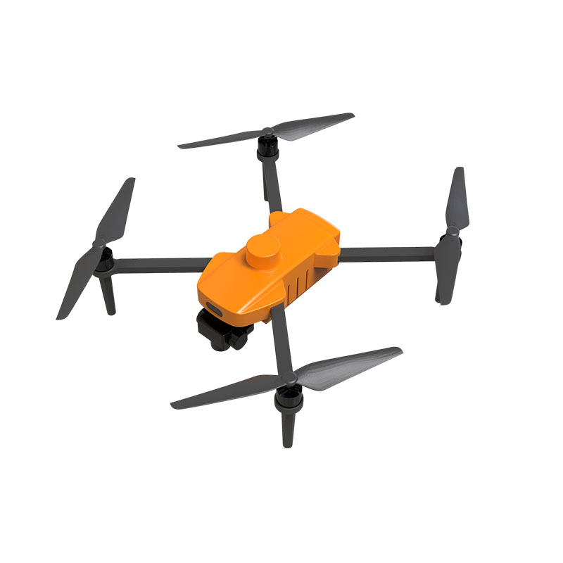
A500 Single-Light Mapping Quadrotor Drone
A500+C283-
1. Autonomous flight: autonomous flight according to the ground station software plan (remote control can be used for emergency conditions).
2. Low voltage protection, can autonomously warn, return, and land.
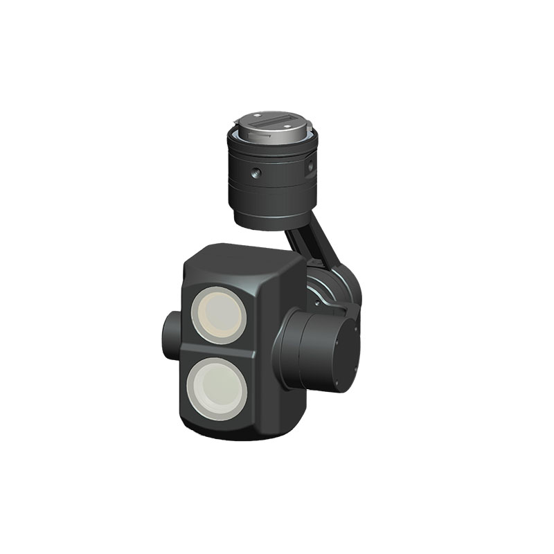
3. Two-axis stabilization gimbal.
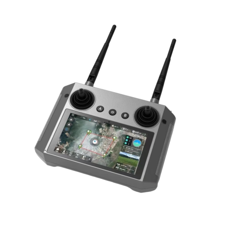
4. Matching ground station software, real-time monitoring of equipment working status.
5. Terrain-like flight function.
6. Support ground station software online firmware upgrade.
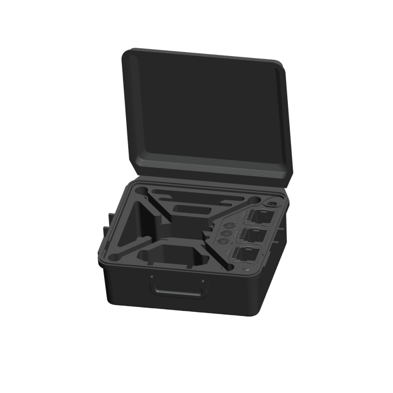
7. Configure charging, transportation and storage integrated box.
8. Support single Beidou navigation.
9. Support RTK function, PPP satellite-based enhanced high-precision navigation.
10. Support software customization requirements.
11. With photo image data encryption function.
12. Photo attributes include latitude and longitude high attitude angle and satellite time information.
13. Support PPK to record precise photo location information.
14. Support ground station software online firmware upgrade.
-
UAV
1. Endurance: 50±5 minutes.
2. Flight altitude: ≥5000 m.
3. Maximum control radius: 7km (visual clearance environment).
4. Maximum lifting speed: 4m/s for lifting and 3m/s for descending.
5. Maximum cruising speed: 15m/s.
6. RTK accuracy: horizontal: 10mm+1ppm, vertical: 20mm+1ppm.
7. Communication frequency band: 2.4GHz.
Camera
1. Effective pixels 20 million.
2. Sensor type CMOS.
3. Sensor size 13.2mm×8.8mm.
4. Photo size 5472×3648.
5. Photo format JPEG.
6. Lens focal length 12.8mm, equivalent to 35mm.
7. Camera storage 64G.
8. Minimum exposure interval 0.6s.
9. Focus mode MF.
10. Shutter speed automatic: 1/50 sec to 1/2000 sec.
11. ISO AUTO.
Gimbal
1. Gimbal type Two-axis gimbal.
2. Installation method Quick release interface.
3. Control direction Pitch -135°~45°, Roll ±45°.

