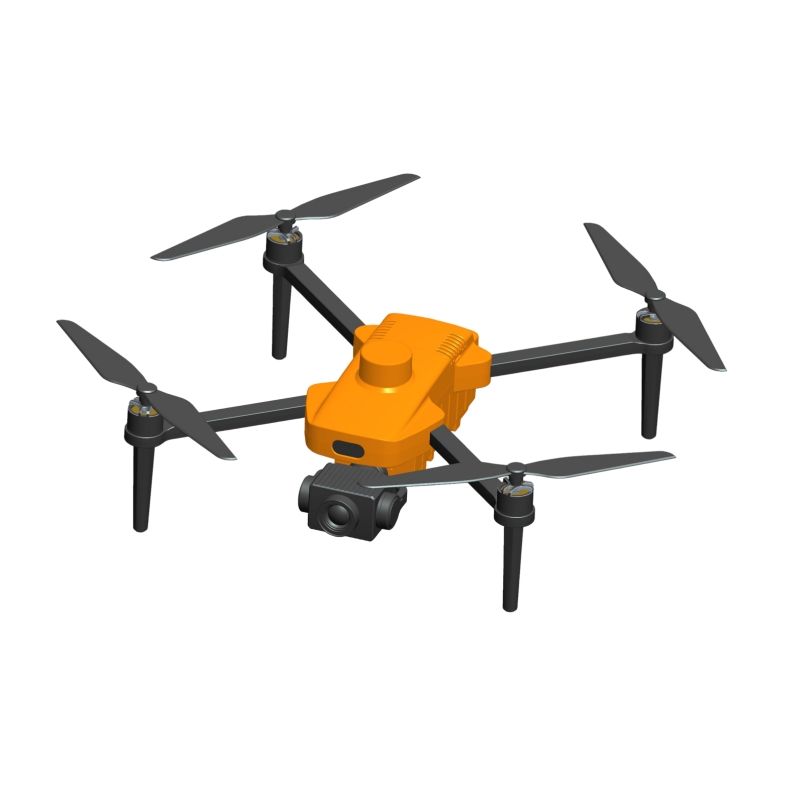
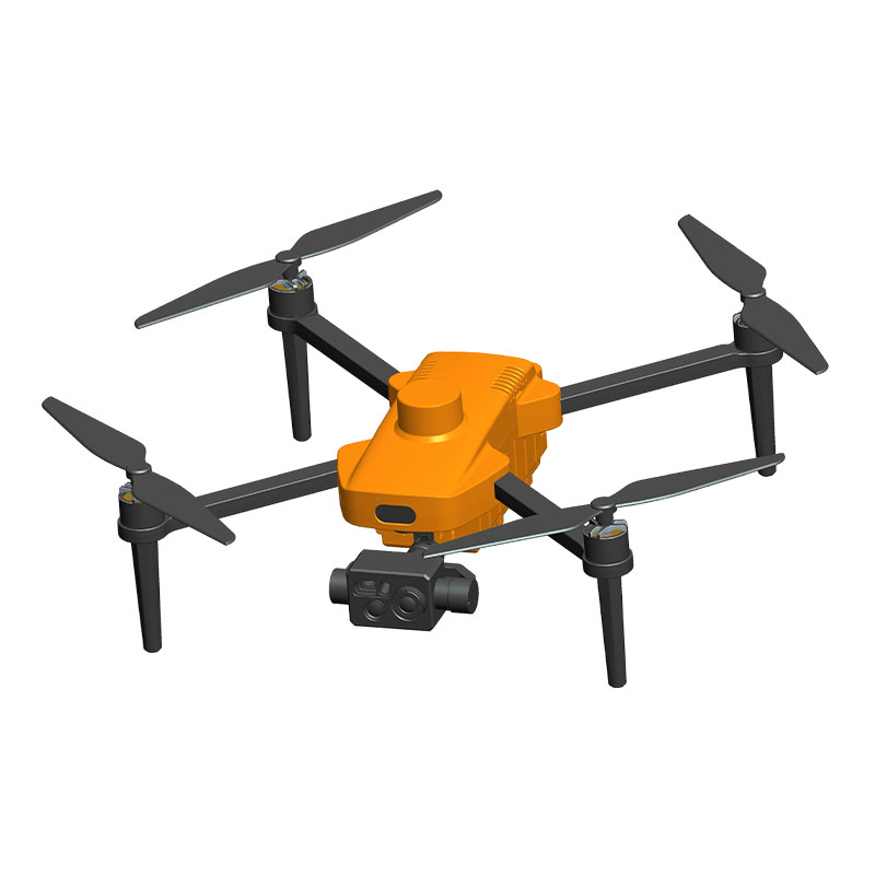
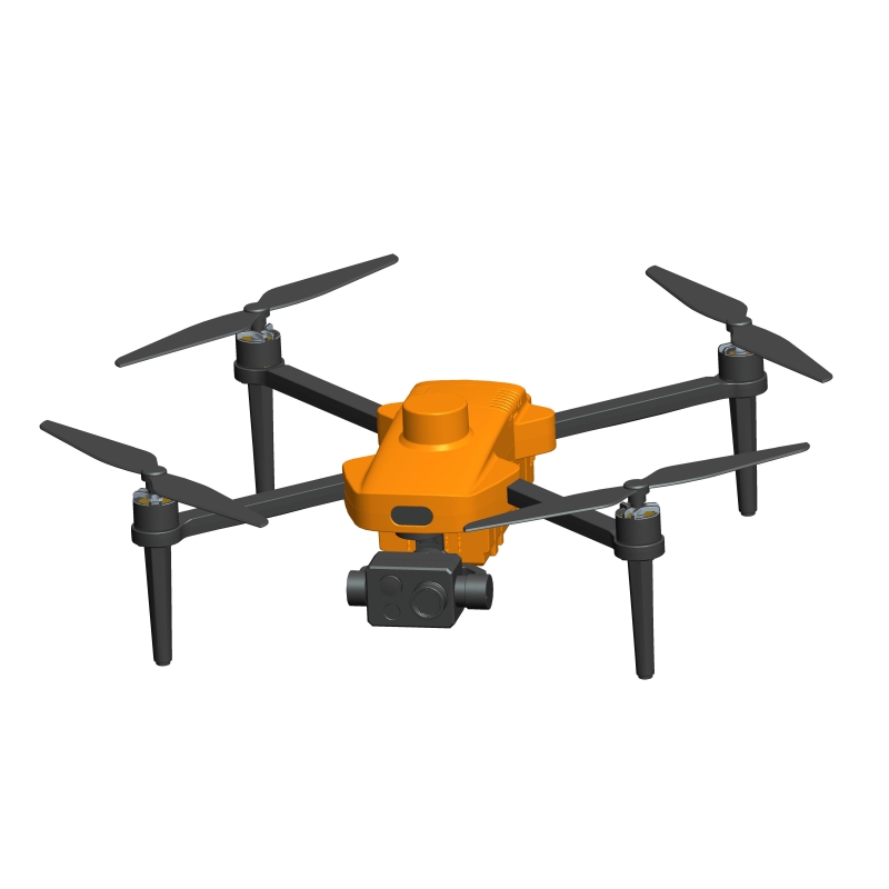
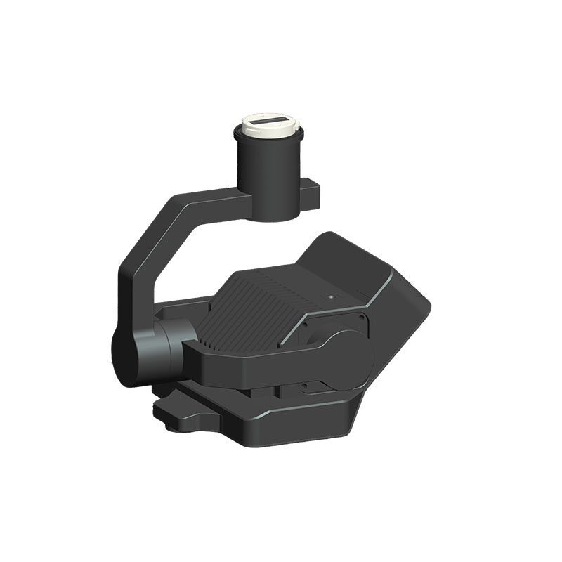
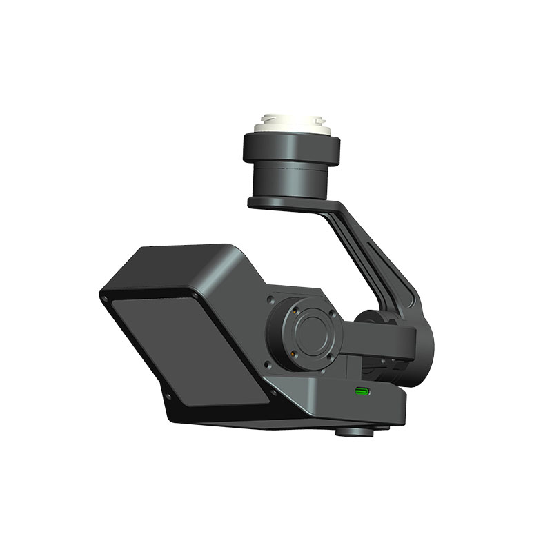
H10 Hydrological Flow Radar
A100-H10-
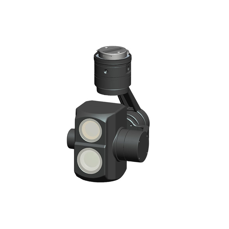
1. Stabilization gimbal: three-axis stabilization.
2. Non-contact measurement: mounted on a drone to hover over the water surface to measure flow and water level.
3. Automatic flow measurement: automatically execute flight missions according to the planned route, and automatically trigger flow velocity and water level measurement at the designated flow measurement point.
4. Station management: Zhijian software platform can create/edit/delete/save stations, import and export station numbers, names, latitude and longitude of the starting point of the distance measurement, and elevation information.
5. Section settings: Zhijian software platform can add, delete, and modify section vertical lines and riverbed elevation data, and supports importing and exporting section data and vertical line settings.
6. Real-time status display: Zhijian software platform can display drone videos in real time, as well as the position and status on the flow measurement route.
7. Historical data re-measurement: Zhijian software platform supports importing and exporting Enter the corrected cross-section data, recalculate the historical flow rate through the flow rate and other information collected in the early stage.
8. Achievement data management: The Zhijian software platform outputs standard report results, and you can browse the data according to the data date and choose to output.
9. There are elevation calibration parameters: For the inconsistent heights of different drones, you need to enter the calibration parameters, which affect the water level calculation.
10. Coordinate conversion function: The coordinates calibrated by some map software, such as Mars coordinates and Baidu coordinates, can be converted into wgs84 coordinates by the software after input and provided to the drone.
11. Real-time forwarding function of flow rate data: The flow rate data can be forwarded to a third-party platform for display on the third-party platform.
12. Real-time display of radar signal quality, three-axis stabilized gimbal attitude angle information, etc.
-
Flow meter
1. Flow measurement range 0.1-15m/s.
2. Velocity measurement accuracy ±0.02m/s.
3. Radar frequency 24GHz.
4. Maximum operating height 25 meters.
5. Radar beam angle 12°.
6. Sampling frequency 20Hz.
Water level meter
1. Measuring range 30m.
2. Water level accuracy ±0.3% full scale.
3. Radar frequency 60GHz.
Camera
1. Sensor 5 million.
2. Sensor pixel 1/2.8 inch CMOS.
3. Lens focal length 4.35mm±5%.
4. Distortion rate <0.1%.

