How does the multi-point measurement function of hydrological flow radar improve the comprehensiveness of data?
Release Time : 2025-03-20
As an important tool for modern hydrological monitoring, the multi-point measurement function of hydrological flow radar plays a vital role in improving the comprehensiveness of data. Traditional hydrological measurement methods often rely on single-point data collection, which is not only inefficient but also difficult to fully reflect the dynamic changes of water bodies. Hydrological flow radar can obtain a wide range of hydrological data in a short time through multi-point measurement function, providing more comprehensive and accurate information support for water resources management, flood warning and ecological research.
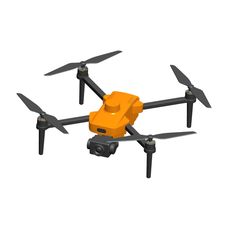
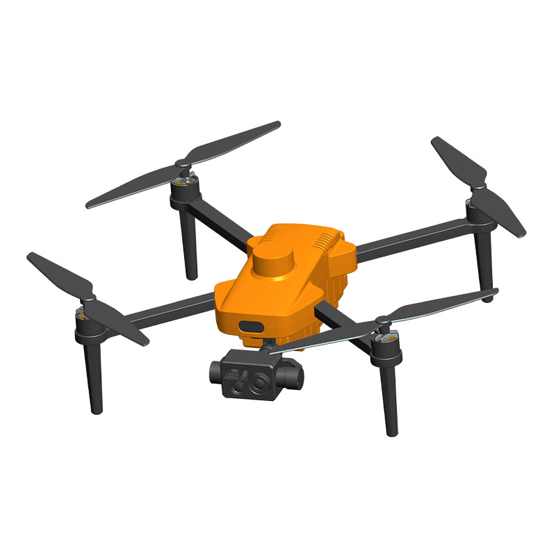
First of all, the multi-point measurement function can cover a wider range of waters and provide comprehensive spatial data. Hydrological flow radar is carried on a drone and can automatically fly according to a preset route and measure at multiple designated points. This multi-point collection method can cover various key areas of rivers, lakes or reservoirs, avoiding local data deviations caused by single-point measurement. For example, in river flow monitoring, by performing multi-point measurements at different sections and depths, the distribution of water flow can be fully understood, and areas with faster or slower flow rates can be identified, thereby providing a scientific basis for flood control scheduling and water resource allocation.
Secondly, the multi-point measurement function can capture the dynamic changes of water bodies and provide time series data. Hydrological flow radar can not only perform multi-point measurements at the same time point, but also repeatedly measure the same area at different time periods to form time series data. This dynamic monitoring method can reveal the changing laws of water bodies, such as seasonal fluctuations in flow rate and changing trends in water levels. For example, in flood warnings, the multi-point measurement function can monitor the flow rate and water level changes of rivers in real time, detect abnormalities in time, and buy precious time for emergency response.
In addition, the multi-point measurement function can improve the accuracy and reliability of data. Traditional single-point measurement is easily affected by local environmental factors, such as water turbulence and riverbed topography, resulting in large data errors. Multi-point measurement can collect data at different locations, which can verify and correct each other, reduce errors, and improve data reliability. For example, in complex water environments, the multi-point measurement function can identify abnormal flow rates caused by terrain or obstacles, so as to more accurately calculate the total flow.
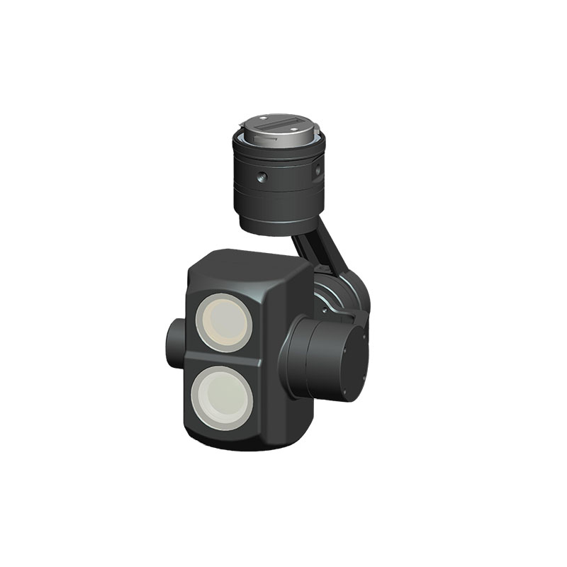
The multi-point measurement function can also support multi-dimensional data analysis and provide more in-depth hydrological information. Hydrological flow radar can not only measure flow rate and water level, but also combine other sensors, such as temperature sensors, turbidity sensors, etc., to collect multi-dimensional data. This multi-dimensional data analysis can reveal the complex relationship of water environment, such as the relationship between flow rate and water quality, the relationship between water level and ecosystem, etc. For example, in ecological research, through the multi-point measurement function, the flow rate and water quality changes in different areas can be analyzed, the impact of water bodies on the ecological environment can be evaluated, and a scientific basis can be provided for ecological restoration.
Finally, the multi-point measurement function can improve the efficiency and cost-effectiveness of hydrological monitoring. Traditional hydrological monitoring methods require a lot of manpower and time for single-point measurement, while hydrological flow radar can complete a large range of data collection in a short time through the multi-point measurement function, significantly improving work efficiency. In addition, the hydrological flow radar carried by drones can reduce dependence on manual measurement and reduce monitoring costs. For example, in remote areas or dangerous waters, the multi-point measurement function can achieve remote monitoring, avoid personnel from entering dangerous areas, and improve the safety and economy of monitoring.
In short, the multi-point measurement function of hydrological flow radar significantly improves the comprehensiveness of data by covering a wide range of water areas, capturing the dynamic changes of water bodies, improving the accuracy and reliability of data, supporting multi-dimensional data analysis, and improving monitoring efficiency and cost-effectiveness. This comprehensiveness can not only provide more scientific and accurate data support for water resources management, flood warning and ecological research, but also promote the innovation and development of hydrological monitoring technology and provide strong guarantees for coping with complex water resources challenges. With the continuous advancement of technology, the multi-point measurement function of hydrological flow radar will be further improved, bringing more possibilities to the field of hydrological monitoring.


